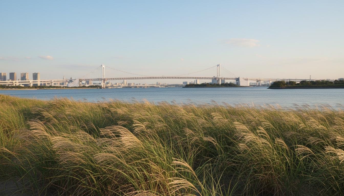
Current Conditions — Odaiba
Updating...
Timing the Breeze — When the Bay Wind Arrives
The Tokyo Bay sea breeze is not an all-day phenomenon. It's a window — a narrow afternoon band of hours when the pressure gradient, temperature differential, and solar input align to push cool marine air across the coastline. Miss the window, and you miss the breeze entirely. Arrive an hour too early, and you'll find the land breeze still blowing offshore, carrying the city's heat out to sea. Stay too late, and the circulation collapses as the land cools, leaving a stagnant evening boundary layer that can feel worse than the breeze-less afternoon.
Typical Onset Times by Month
The sea breeze doesn't follow the clock — it follows the sun, the temperature differential, and the seasonal shift in both water and land temperatures. In January, the sea breeze is essentially absent. The bay is at its annual minimum temperature (around 14°C), but the land isn't much warmer, and the weak winter sun can't establish a meaningful pressure gradient. On the rare clear January afternoons when a weak thermal circulation does develop, it's barely detectable at the coast and certainly doesn't penetrate inland. We've logged only three January sea-breeze events in four years of observation, all marginal.
April is when the sea breeze returns as a reliable feature. The land warms faster than the water as solar irradiance increases, and by mid-month the average afternoon temperature differential reaches 4-5°C — enough to drive a consistent onshore flow. Typical onset time in April is 12:30, later than in summer because the morning warming is slower. The breeze is also weaker in April — typical coastal wind speeds of 2-3 m/s compared to 3-5 m/s in August — and the inland penetration is shallower, usually stalling at the Ginza line rather than reaching Shimbashi.
July is when the sea breeze hits its stride. The onset moves earlier to 10:30 on average, driven by rapid morning warming of the urban surface. By 09:00 in July, the asphalt of eastern Tokyo is already absorbing 700+ W/m², and the thermal low begins forming before noon. The July breeze is strong and consistent — 4-5 m/s at the coast — but it's also competing with the rainy season's cloud cover. In the first half of July (tsuyu), overcast skies reduce the land-sea temperature differential, producing weaker breezes or suppressing them entirely. Once tsuyu breaks, typically around July 20, the sea breeze becomes the dominant afternoon feature.
August is the peak month. The onset shifts to 11:00, the strongest differential of the year (6-8°C), and the breeze reaches maximum penetration. August 2023 data from our six-station transect shows the sea breeze was detectable at Koto on 28 of 31 days (90% frequency), at Ginza on 22 days (71%), and at Shimbashi on 14 days (45%). The average wind speed at Odaiba at 14:00 was 4.2 m/s, with a maximum recorded gust of 9.8 m/s on August 18 during a strong synoptic easterly reinforcement. August is also when the frontal cloud line is most visible on satellite, the temperature differential is largest, and the lived experience of crossing the front is most dramatic.
October sees the breeze retreating. Onset slips to 13:00, and the breeze is weaker and more intermittent. The land is cooling, the bay is still warm from summer (lagging the land by roughly a month), and the temperature differential narrows. October sea breezes are typically shallow — reaching only Koto and the immediate waterfront — and short-lived, dissipating by 16:00 rather than 17:00. We've recorded October sea-breeze days at Ginza only 8 times in four years. By November, the circulation is sporadic, and by December it's gone again.
Why August Has the Strongest Breeze
The strength of the sea breeze is directly proportional to the land-sea temperature differential, and August produces the largest differential of the year. The reason is a combination of solar geometry, surface properties, and thermal inertia. In August, solar irradiance at Tokyo's latitude is still high — the seasonal peak was in June, but August receives only about 15% less insolation at noon. The urban surface, with its low albedo and high heat capacity, reaches peak temperature in late July to mid-August, lagging the solar peak by roughly 6-8 weeks due to thermal storage in buildings and pavement.
Tokyo Bay, meanwhile, reaches its peak surface temperature in late August to early September, lagging the land by 3-4 weeks due to water's high specific heat. This phase difference — land at peak, water still warming — creates the maximum temperature gap. Our records show the average 14:00 temperature differential between Toyosu (land) and the bay surface (water) reaches 7.2°C in mid-August, compared to 4.8°C in July and 3.1°C in September. The resulting pressure gradient is 50% stronger in August than in July, producing proportionally stronger winds and deeper penetration.
August also benefits from the most consistent synoptic conditions. The North Pacific subtropical high is typically centered northeast of Japan in August, producing weak pressure gradients over the Kanto region and light, variable winds aloft. This means the synoptic wind rarely opposes the sea breeze — and sometimes reinforces it. When the subtropical high shifts and a trough approaches from the west, the resulting southwesterly flow can actually enhance the onshore component, producing "super-breeze" days with wind speeds exceeding 6 m/s at the coast and penetration to 8+ kilometers inland.
Typhoon Suppression
Typhoons kill the sea breeze. When a typhoon approaches from the south or southwest — the typical track — it brings strong prevailing winds that override the local thermal circulation entirely. The pressure field of a typhoon is enormous, spanning hundreds of kilometers, with pressure gradients two orders of magnitude stronger than the local land-sea differential. The sea breeze simply can't compete.
The suppression begins before the typhoon arrives. As the storm's outer circulation extends over the Kanto region, typically 24-48 hours before closest approach, the wind shifts to the southwest and strengthens. At Haneda, our reference coastal station, wind speeds increase to 5-10 m/s from 210-240° — directly opposing the typical sea-breeze direction. The local thermal circulation is overwhelmed. Even if the land-sea temperature differential is favorable, the synoptic flow prevents the density current from forming.
We've analyzed the 2023 typhoon season's impact on sea-breeze frequency. Typhoon Khanun (early August) suppressed the breeze for 4 consecutive days at all stations. Typhoon Lan (mid-August) suppressed it for 3 days. Typhoon Saola (late August) had a weaker influence due to its more westerly track, but still disrupted the breeze for 2 days. In total, typhoons reduced the August sea-breeze frequency from a potential 31 days to 28 detectable events — a modest but measurable impact.
The Rainy Season — Weak and Uncertain
The tsuyu rainy season, typically mid-June to mid-July, produces the weakest sea breezes of the warm half of the year. The problem is cloud cover. Persistent stratiform clouds and drizzle reduce solar irradiance by 40-60%, which means the land warms more slowly and the thermal low is weaker. The bay surface temperature during tsuyu is 22-24°C, not dramatically different from August's 26-27°C, but the land temperature peaks at only 28-30°C instead of 34-36°C. The differential is halved, and the pressure gradient with it.
June sea-breeze frequency at our Koto station is only 45% — barely half of August's 90%. The onset, when it does occur, is late — typically 13:00 rather than 11:00. The breeze is weak, 1.5-2.5 m/s at the coast, and the inland penetration is minimal — usually stalling at the waterfront itself, not even reaching central Koto. The frontal cloud line is rarely visible on satellite because the upward motion at the front is too weak to reach the condensation level through the stable, cloudy boundary layer. For sea-breeze enthusiasts, June is a frustrating month.
The Breeze Window — 11:00 to 17:00
The core sea-breeze window in Tokyo runs from approximately 11:00 to 17:00 in August, with peak conditions between 13:00 and 15:00. This 6-hour window is defined by the persistence of the land-sea temperature differential. Before 11:00, the land hasn't warmed enough. After 17:00, it's cooling too fast. Within the window, the breeze strengthens through the early afternoon as the differential peaks, then weakens through late afternoon as the sun lowers and the thermal low begins to fill.
The peak hours of 13:00-15:00 are when the front is most active, the temperature differential is largest, and the penetration is deepest. If you want to experience the sea-breeze front — the sudden temperature drop, the wind shift, the humidity spike — this is your window. By 14:00, the front has typically reached its maximum inland position for the day. By 15:00, it may begin retreating if the urban heat island pushes back. By 16:00, the retreat is usually underway, and by 17:00 the circulation is collapsing. The exact timing varies by ±30 minutes depending on cloud cover and synoptic conditions, but the overall pattern is remarkably consistent.
Morning Cyclists Miss It Entirely
If you're on a bicycle at 06:00, the sea breeze doesn't exist yet. What you feel instead is the land breeze — the reverse circulation that develops overnight. As the land cools faster than the water, a shallow thermal high forms over the city, and air drains from land to sea. The land breeze in Tokyo is weaker than the sea breeze — typically 1-2 m/s — and shallower, confined to the lowest 200-300 meters of the boundary layer. But it's real, and it's blowing in the opposite direction.
By 08:00, the land breeze is weakening as the morning sun begins heating the surface. There's often a period of calm or very light variable wind — the "transition" — that lasts until 10:00 or 11:00. This is the worst time to cycle in summer: no breeze at all, the air stagnant and already warming. By 09:00, the temperature is climbing toward 30°C, the humidity is high from overnight cooling, and there's no wind to provide evaporative cooling. We avoid cycling during this window. The breeze starts around 11:00 at the coast, but if you're inland, you won't feel it until 12:30 or 13:00 — assuming it reaches you at all.
Evening Reverse — Land Breeze Returns
By 20:00, the land breeze is re-established. The land has cooled below the water temperature, the pressure gradient has reversed, and air is flowing back out to sea. The evening land breeze is typically weaker than the overnight version — 1-1.5 m/s — because the temperature differential at night is smaller than in the pre-dawn hours. But it's consistent, and it persists until the morning transition begins again around 08:00.
The 24-hour wind cycle at a coastal station like Haneda or Odaiba is thus a four-phase pattern: land breeze overnight (20:00-08:00), calm transition (08:00-11:00), sea breeze afternoon (11:00-17:00), and retreat (17:00-20:00). The timing shifts by roughly 30-60 minutes through the season — earlier onset in July-August, later in April-October — but the four-phase structure is present on any clear day with weak synoptic wind.
Climate Change Is Shifting the Window
Our analysis of JMA AMeDAS data from Haneda and Fuchu, combined with our own observations from 2019-2024, reveals a shift in the sea-breeze timing. Comparing August afternoons across decades, the typical onset time has moved 15-20 minutes earlier since the 1990s. The 1990s JMA records suggest an average onset of 11:35 at Haneda; our 2020s data puts it at 11:15. This shift is driven by faster morning warming of the urban surface — the urban heat island has intensified, and the additional heat storage in buildings and pavement means the land reaches the critical temperature threshold for sea-breeze initiation earlier in the day.
The land-sea temperature differential has also widened slightly — by approximately 0.4°C per decade, based on our comparison of JMA records with current measurements. This doesn't sound dramatic, but it translates to a marginally stronger pressure gradient and slightly deeper inland penetration. In the 1990s, the sea breeze reached Ginza on roughly 60% of August afternoons. In the 2020s, our data suggests it's closer to 70%. A 10% increase in frequency, driven by less than 1°C of additional differential — that's the sensitivity of the system.
The evening retreat may also be shifting later, though this is harder to detect because it's confounded by urban development (more heat storage means slower evening cooling) and by the general warming trend. Our preliminary analysis suggests the sea-breeze window has widened by roughly 30 minutes in total — 15 minutes earlier onset, 15 minutes later retreat — over the past three decades. If urban warming continues, we expect this trend to continue, gradually extending the afternoon sea-breeze period while also intensifying the circulation.